
Pennsylvania ZIP Families and Coverage
The USPS three-digit list groups Pennsylvania into broad postal families. A five-digit code serves delivery points more closely. These rows give regional examples, not a full current post-office list. Assignments and ZIP+4 routes change, so confirm an address with USPS.
| ZIP family | Areas covered | Post office examples | Notes |
|---|---|---|---|
| 150-152 | Pittsburgh, Monongahela, Beaver Valley and western Allegheny region | Pittsburgh-area offices; confirm the address | Municipal lines do not follow ZIP lines. |
| 153-156 | Washington, Greene, Fayette, Westmoreland and Laurel Highlands | Washington and local post-office cities | Rural places may use a nearby postal city. |
| 157-159 | Indiana, Johnstown, Altoona and north-central western counties | Indiana, Johnstown and Altoona areas | 159, 166 and 168 changes show routing facility geography. |
| 160-163 | Butler, New Castle, Beaver and Mercer | Butler, New Castle and local offices | Check an exact address for the delivery label. |
| 164-166 | Erie, Meadville, Oil City, Franklin, Bradford and Johnstown/Altoona edge | Erie and northwest-area offices | Rural postal cities may not match a municipality. |
| 167-169 | Bradford, Coudersport, Wellsboro, Williamsport and northern tier | Bradford, Coudersport and local offices | Township, borough and county lines may diverge. |
| 170-172 | Harrisburg, Carlisle, Chambersburg, York, Gettysburg and south-central counties | Harrisburg and south-central post-office cities | USPS city names are delivery labels. |
| 173-176 | York, Lancaster, Reading, Lebanon, Berks and Lancaster districts | York, Lancaster, Reading and Lebanon areas | Urban and rural postal communities cross local lines. |
| 177-179 | Williamsport, Sunbury, Danville, Bloomsburg, Pottsville and coal region | River-valley and local post-office cities | Postal names may differ from the municipality. |
| 180-183 | Allentown, Bethlehem, Easton, Lehigh Valley and Poconos edge | Lehigh Valley and eastern-area offices | ZIP lines cross county and municipal lines. |
| 184-188 | Scranton, Wilkes-Barre, Hazleton, Stroudsburg and northeast coal region | Northeast-area offices | Processing changes can affect routing without changing jurisdiction. |
| 189-191 | Bucks, Montgomery, Philadelphia and Delaware Valley | Philadelphia and suburban post-office cities | Postal lines overlap several local jurisdictions. |
| 192-194 | Philadelphia special or unique delivery and Montgomery/Chester suburbs | Special-use and suburban offices | Some codes are PO-box, unique or special-use. |
| 195-196 | Reading, southeastern Berks and Lehigh Valley edge | Reading and local post-office cities | Postal city, municipality and county can differ. |
A statewide ZIP code directory needs current USPS City State Product data or a county postal export, not just these broad families. USPS confirms a specific five-digit assignment and preferred city; its public lookup checks an address rather than downloading an all-state list.
Pennsylvania ZIPs Cross County Lines
Pennsylvania postal geography spans 67 counties and more than 2,500 municipalities. A postal area may cross borough or township lines, and one municipality may use more than one postal city. Do not use a ZIP as the legal county or city. A street can share another town's postal name while its deed belongs elsewhere.
Use county and address-point records for civic jurisdiction, USPS for delivery labels. This distinction matters near county lines, older borough borders and rural places whose postal name is not the legal place.
Verify a Pennsylvania ZIP With USPS
The USPS postal lookup is the final check for one address. Enter a street address with city and state, or use a city and state when checking the postal-city label. The returned ZIP is an addressing result, not a parcel record or a statement of municipal boundaries. A single-address check is more reliable than copying a broad prefix into an address book.
The official USPS address lookup shown below is the exact-address check. Compare its postal result with the county assessment card if the two place names differ.
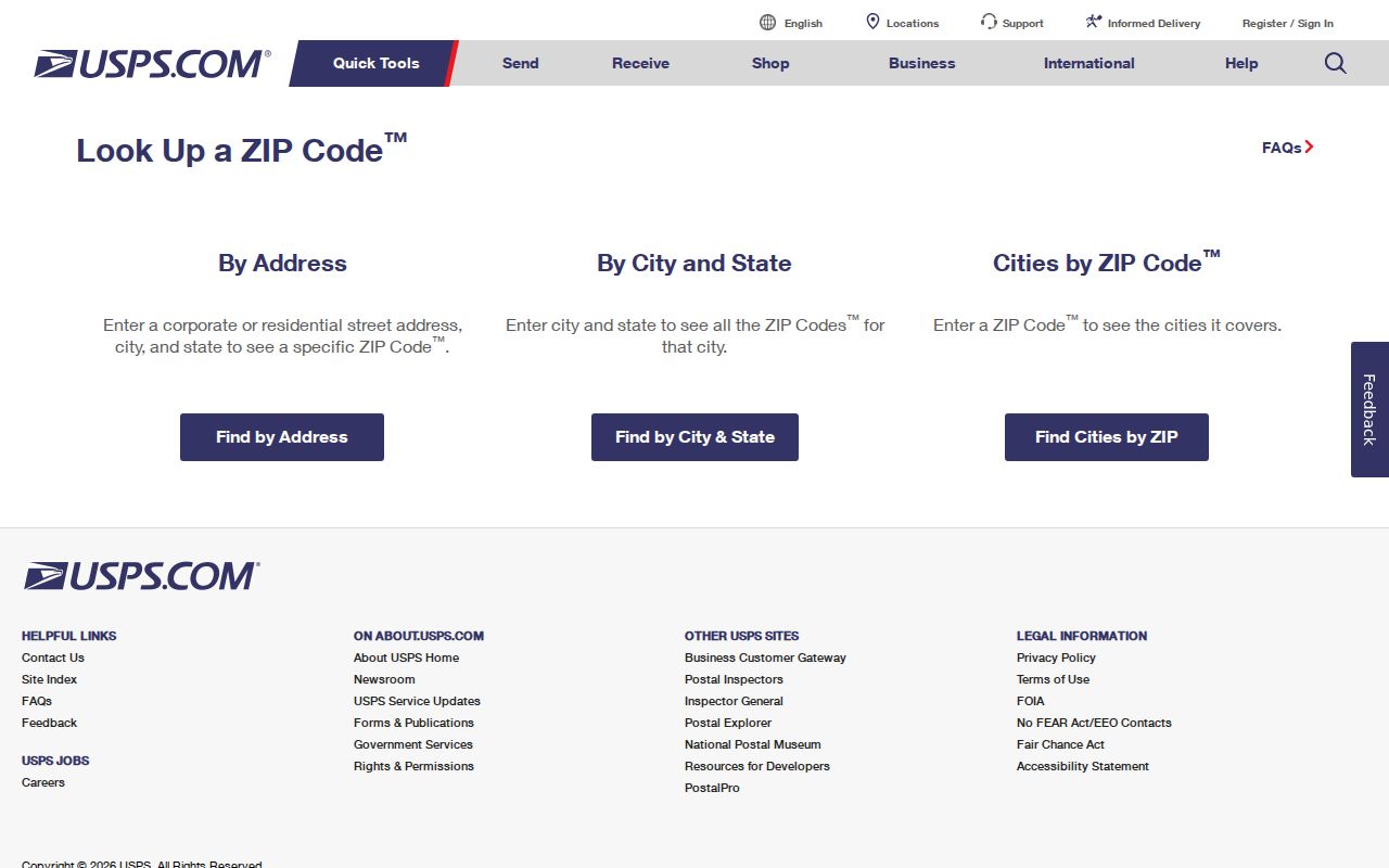
USPS exact-address lookup is the correct way to validate a mailing label. It does not create a statewide resident list or replace the assessor's tax parcel map.
| Lookup route | What to enter | What it can confirm |
|---|---|---|
| One delivery address | Street address, city and state, or a known ZIP | The matching postal ZIP and preferred city label. |
| City and state | Postal city plus Pennsylvania | Addressing options for that postal place, subject to exact-address validation. |
| Statewide ZIP directory | Current USPS City State Product or county postal export | A maintained five-digit list and delivery-city fields; not supplied as a public download by the address-driven lookup. |
Pennsylvania GIS Maps and ZIP Boundaries
Pennsylvania Spatial Data Access catalogs state GIS layers. PASDA and the DCNR ZIP map service show polygons and county context. The image below points to data sources, not address assignments.
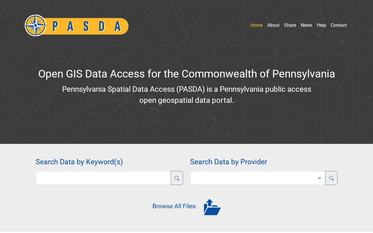
A polygon shows overlap with county or municipal boundaries, not the postal label of every delivery address. Routes may change while a map layer remains online.
DEP's eMapPA locator has address, county, municipality and ZIP tools. Use its map to reach a place, then open the county viewer for parcels. Identify and buffer tools return geography, not people.
Search Pennsylvania Parcels by ZIP
A ZIP filter is available in some county assessment portals, but not in every county. Where offered, it returns taxable parcels with that ZIP in the assessment database, not everyone who receives mail there. The county GIS can center on a ZIP shape and then requires parcel clicks. eMapPA also locates a ZIP, while voter status remains a person-led search rather than a street or ZIP browse.
- Choose the right area. Use USPS to confirm a five-digit code for a real address, then note the county and municipality attached to the parcel.
- Search the tax roll. If the county assessor offers a ZIP field, use it to find parcels and capture each parcel or account number.
- Check map context. Center a GIS viewer on the ZIP, identify parcels and compare municipal boundaries with the tax record.
- Verify one person separately. The official voter status form searches a named elector. The full voter-list export costs $20 per county or statewide, is electronic only, requires a use affirmation and cannot be published online.
- Move to the street level. Once an address is confirmed, use the Pennsylvania street directory for parcel, deed and permit records keyed to that street.
These are search starting points. An assessment ZIP filter does not catch every parcel within a city, and a map center does not identify every address that uses the postal code. For a mailed request or a question about title, route the record to the county office that holds it.
| Portal field or control | Input | What it returns or limits |
|---|---|---|
| County assessor: ZIP | Text or dropdown where offered | Tax parcels assigned that ZIP in the county's assessment file; not every county provides the field. |
| County assessor: municipality | City, borough or township option | Narrows the local tax record; county-specific terms apply. |
| County assessor: situs address | Street number, street name and municipality | Targets a parcel more closely than a postal label alone. |
| PA Parcels: ZIP and county | Attribute fields on the statewide layer | Discovery attributes and parcel geometry; county cards remain authoritative for assessment detail. |
| eMapPA: ZIP locator | Five-digit ZIP entry | Centers the map on ZIP geography; it does not return residents. |
| eMapPA: identify or buffer | Selected parcel or map area | Queries visible map layers where enabled. |
Pennsylvania ZIP, Situs, and Mail Keys
A tax record can hold three labels: situs, mailing address and ZIP. Situs locates the parcel; the mailing address receives tax mail; ZIP belongs to postal delivery. A county filter finds parcels assigned that code, not every place in a city.
For property, compare the county card, legal description and parcel number. For mail, use USPS's preferred city and ZIP. Neither label proves occupancy or jurisdiction. If a search fails, try the municipality and old street name, then check the parcel's postal city.
Rural Pennsylvania ZIP Delivery Patterns
Rural routes and small boroughs may use a neighboring post-office city. The research identifies PO-box, unique and special-use codes in Pennsylvania, including the 192-194 family, but does not name every current five-digit code or station.
The public lookup is address-driven, and assignments change. A complete postal directory needs current City State Product or county export fields for preferred and alternate cities, local boundaries, post office and delivery type. A family prefix is not an exact neighborhood.
Pennsylvania Address Points Beyond ZIP
A ZIP helps route mail, while a county 911 address point is meant to locate a civic site or structure. The Pennsylvania Emergency Management Agency GIS requirements describe county road-centerline and site/structure layers with a 98 percent synchronization target and monthly uploads. Their data model can include municipality or taxing authority, an unincorporated community, a unit and ZIP+4.
Use the county address point to resolve an “address does not exist” problem, then use the assessor parcel for tax ownership and USPS for the delivery label. Each office has a different job. A 911 GIS point does not name a resident, and a ZIP map does not decide which municipality governs the address.
Postal Labels Across Pennsylvania Regions
The eastern Delaware Valley has dense blocks and several postal-city names. Lehigh Valley and Reading-Lancaster combine older borough grids with subdivisions; Harrisburg, York and Carlisle add state, military and farm records. Northeast coal towns may need mine, parish or parent-county sources.
Pittsburgh and western Pennsylvania add river-valley geography and borough lines. These local patterns help choose an archive or county office, but not a precise delivery code. Match street, county and municipality, then check USPS.
Pennsylvania ZIP Lines and City Limits
A Pennsylvania postal area can cross a county or municipal line, and a postal city can differ from the municipality that appears in a deed or assessment record. USPS address matching may return the post-office city for a place without its own post office. The county keeps the civic address and tax parcel; the municipality defines the legal place; USPS assigns delivery geography. A Pennsylvania ZIP code directory should label this split clearly, so keep both names when sources differ.
Street renumbering adds another layer. Philadelphia's historic street index and 1898 and 1910 directory tables connect old names with newer ones, while other Pennsylvania towns may have their own annexation or route history. A ZIP change or processing-center shift can alter the postal label without moving a parcel. For a deed trail, use the legal description and county book, not the postal city alone.
- ZIP code
- A five-digit USPS delivery area; it is not a city, county or tax boundary.
- ZIP+4
- Four added digits that narrow delivery to a smaller route or delivery segment.
- PO-box ZIP
- A code used for post-office box delivery rather than a broad set of street addresses.
- Unique ZIP
- A special code assigned to one institution or organization rather than a general neighborhood.
- Carrier route
- A local delivery route within postal geography, below the five-digit code.